The airport observation looks good, but your return flight is three hours away. Which product answers what the weather is doing now, which describes expected conditions later, and where do you investigate the route between the airports? Give each source a job before trying to make a flight decision.
This article uses a fictional station identifier, KZZZ, and entirely invented reports. They are decoding exercises, not observations or forecasts for an actual airport.
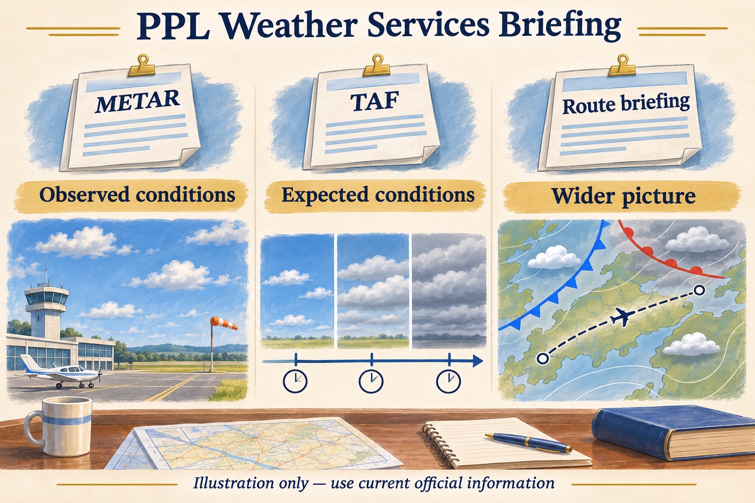
AI-generated concept illustration. The map and documents contain no live weather information.
METAR: read the observation and its time
A METAR reports observed airport weather; a SPECI is a special observation issued when applicable criteria are met. Decode this invented example:
METAR KZZZ 141755Z 22008KT 10SM SCT030 BKN060 22/16 A3005
It describes an observation on the 14th at 1755 UTC. Wind is from 220° true at eight knots, visibility is ten statute miles, and the cloud groups are scattered at 3,000 feet and broken at 6,000 feet above the station. Temperature is 22°C, dew point 16°C, and the altimeter setting is 30.05 inches of mercury.
The broken layer gives a 6,000-foot ceiling in this example; the scattered layer does not define a ceiling. The AWC product guide explains report groups and units. A station observation is not a measurement of flight visibility or cloud separation everywhere along your route.
For a notebook exercise, highlight the timestamp first. Then separate wind, visibility, clouds and altimeter setting. Ask which parts of the report are relevant to takeoff and which questions it cannot answer about the later flight.
TAF: match the forecast to your arrival
A terminal aerodrome forecast describes expected conditions for the terminal area, rather than an entire cross-country route. Here is an invented example:
TAF KZZZ 141730Z 1418/1518 22008KT P6SM SCT030
     FM142000 24012G20KT 4SM -RA BKN020
The issue time is 1730 UTC on the 14th, with a valid period from 1800 UTC on the 14th to 1800 UTC on the 15th. Initially it forecasts wind from 220° true at eight knots, visibility greater than six statute miles, and scattered clouds at 3,000 feet above the station.
From 2000 UTC on the 14th, the example forecasts wind from 240° at 12 knots gusting to 20, four statute miles visibility, light rain and a broken ceiling at 2,000 feet. The FM group supplies a new set of prevailing conditions. Use the FAA Aviation Weather Handbook for more decoding practice and forecast limitations.
Imagine a planned arrival at 1930 UTC that slips to 2030 UTC. Circle the forecast segment relevant to each arrival. Then ask how gusts, lower clouds and rain affect the plan and your instructor's limits. A forecast change time does not guarantee conditions remain unchanged until that minute.
Build the picture between the airports
Use the Aviation Weather Center for observations, forecasts and hazard information. Its GFA help describes map layers and products. Match each layer's valid time and altitude to your proposed flight.
For the hypothetical return trip, investigate ceilings and visibility along the route, winds aloft, radar and satellite trends, pilot reports, and applicable G-AIRMETs, SIGMETs, Convective SIGMETs and Center Weather Advisories. These products answer different questions; a favorable airport report does not cancel an en route hazard. Radar imagery also has age and latency and is unsuitable for picking a close path through thunderstorms.
Write down one uncertainty the terminal forecast leaves unresolved, such as cloud coverage across higher terrain. Identify which broader product or briefing discussion could address it. If information is missing, record that instead of treating the blank as favorable weather.
Use Flight Service and update the plan
The FAA AIM meteorology section describes Flight Service and briefing access through 1800wxbrief.com. Provide the route, altitude, departure time, aircraft and intended VFR operation, and discuss uncertain conditions. Include NOTAMs and other preflight information in the wider preparation.
For practice, build a timeline with departure, arrival and return, then place the invented observation and forecast change on it. Compare the aircraft's weather requirements using the VFR weather minimums guide, and try weather questions in ground school. Recheck current information before a real departure and update your assessment as conditions change.
Sources checked: November 14, 2026. KZZZ, the coded reports, times and trip are fictional. This exercise is not a complete preflight briefing or a flight authorization.